In 1976 Elsie Garber and Sara Fox Wendenburg crafted a map of King William County based on a “historic homes” map that had been drawn in 1952 when the people of King William celebrated the county’s 250th anniversary. County homes, sites and churches were marked, with an enclosed circle for existing structures and an empty circle for buildings that were no longer standing. Mrs. Garber and Mrs. Wendenburg secured a copyright for their map, and the Historical Society keeps this document under lock and key. A “cemetery overlay, ” which can be added to the map without imposing on the original copyright, will enhance the map’s importance as a research tool.
KWCHS Projects
- GIS Historical Map Project
- King William County Burned Records Project
- Cemetery Documentation
- Stabilization of Acquinton Church Building
- Lanesville Christadelphian Church
- Old County Jail Restoration
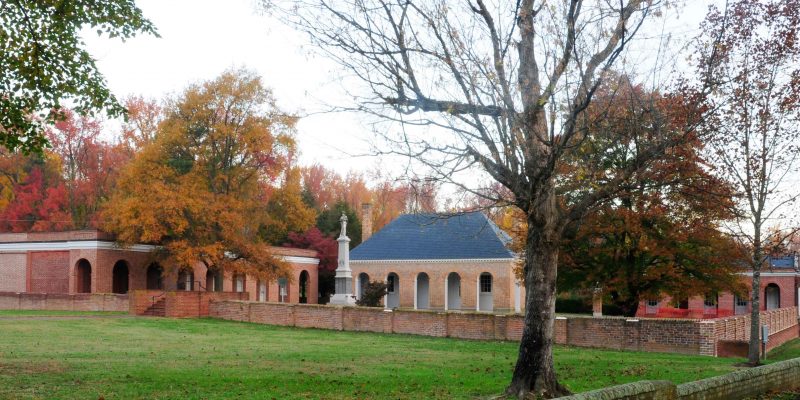
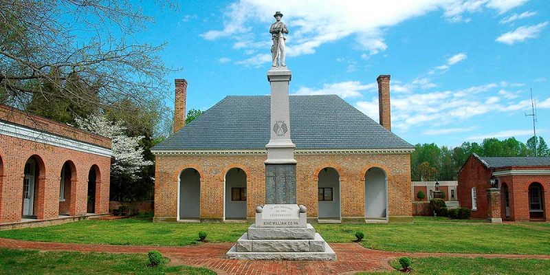
- Courthouse Wall Restoration
- Aylett Cemetery Restoration
- County Historic Buildings Map
- Old Courthouse Plaster Repairs and Painting